AR solutions
Augmented Reality (AR)
Dramatically Changing the way in which Citizens, Municipalities, and Emergency Responders Interact with Structures
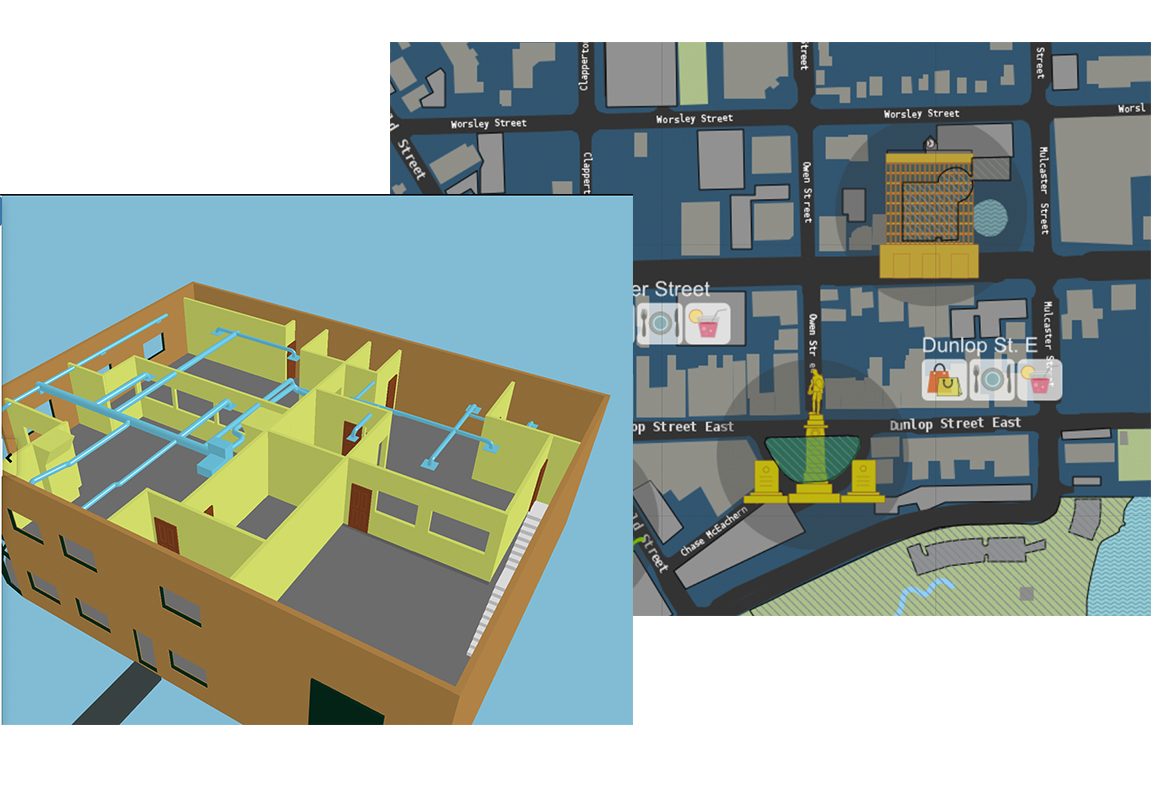
Smartpolis & AR
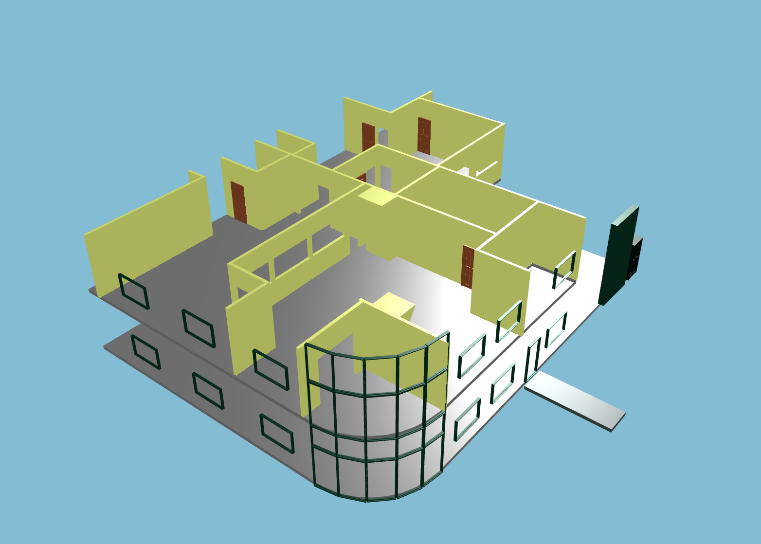
Smartpolis integrates AR to created lifelike, interactive 3D models for all users. These models are integrated into our maps and applications which are easily accessible on either a mobile device or computer.
Citizens & AR
The large metropolitan areas of modern cities can often be difficult to traverse and navigate. Most citizens tend to rely on their smart phone for navigation but even this is not sufficient. With AR, Smartpolis can drastically improve the navigation experience for citizens by adding a new layer to smart navigation. With our technologies, users will be able to index the buildings, monuments and attractions around them simply by interacting with their city from a connected device. We offer the ability for citizens to have real-time 3D access to layouts, routes, general information, user communities, businesses within buildings, and much more. With AR we aim to create the best possible user experience for citizens and visitors.
Municipalities & AR
Keeping track of city assets and infrastructure projects is often a daunting task for municipalities. With the help of Smartpolis’ AR capabilities, municipalities will have access to detailed 3D models in real-time. These models will include important public structures, utilities, and any other infrastructure or city project. This allows municipalities to manage assets and projects more efficiently and safely, ensuring their success and longevity. Our models can also help cities plan for the future. For new projects, municipalities can get a better sense of how new work will fit within the existing urban landscape. Our AR models will help cities plan and map out future construction projects ensuring their timely and proper completion. Through AR we help municipalities organize and accomplish their goals.

Emergency Response & AR
Smartpolis AR integration provides emergency responders with a second set of eyes. With our interactive 3D models, emergency responders are able to easily navigate structures and diagnose the cause of the issue. In real time, ER can find out where the issue is being cause and what specifically is causing it. Emergency responders are then better able to tackle issues that require immediate attention. This ability to offer 360˚ structural accessibility is a capability that is not only exciting, but something that can save numerous lives and structures in the future to come.